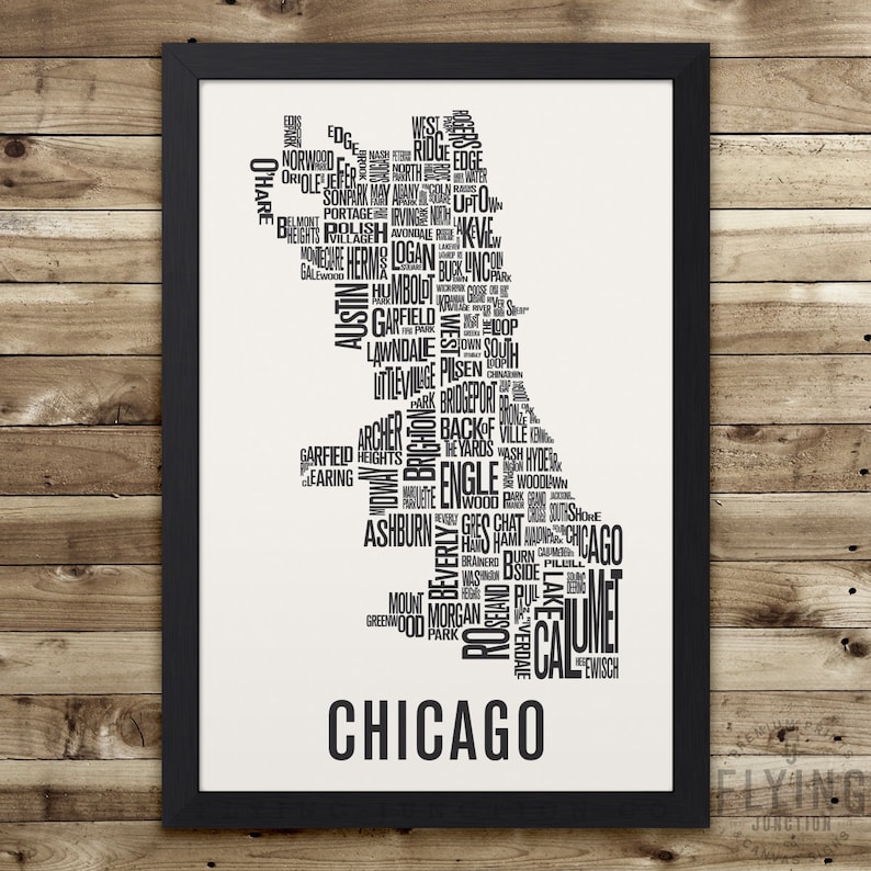
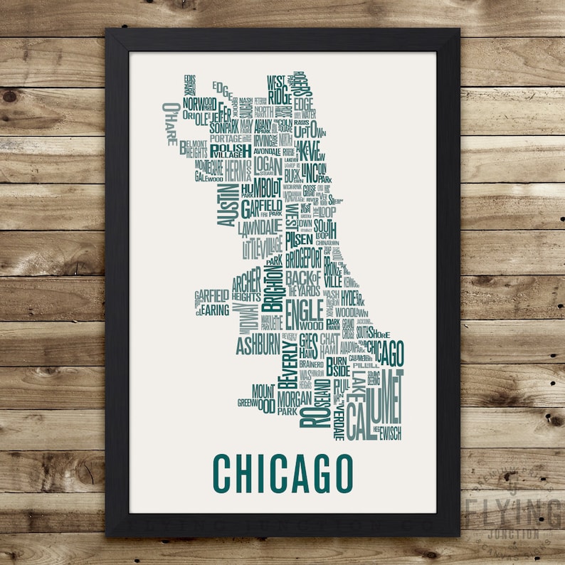
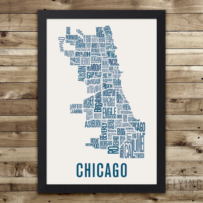
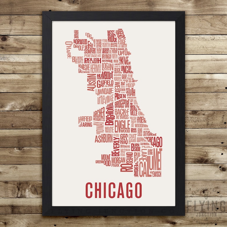
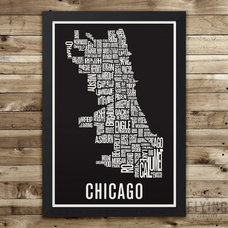
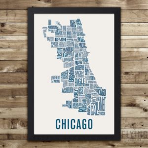
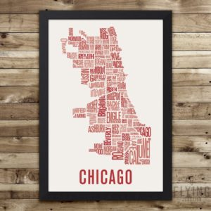
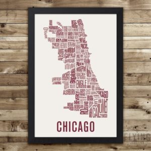
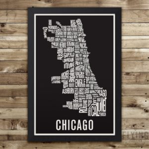
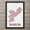
Chicago Neighborhood Map Print
This map features 100 neighborhoods, outlining the city of Chicago. Printed using archival inks on thick fine art (100% cotton rag) paper that has a natural white color and matte finish. Available in Black, Medium Gray, Emerald Green, Oxford Blue, Ruby Red, Rosewood, and White.
Find all of the City Neighborhood Maps here:
sanitrade.store
———————————————————————————————
HANGING YOUR PRINT
Frame is not included. This print will fit in a standard 12×18, 18×24, or 24×36 frame (depending on the size you select), these are common frame sizes available at local frame stores and on Amazon. Prints with colored backgrounds (black included) have a 1/2-inch natural white border which is meant to show when framed without a mat. You may trim off the white border and use a smaller frame if desired.
SHIPPING INFO
All prints are rolled and carefully packaged in rigid, super sturdy 1/8-inch thick reinforced tubes to prevent any damage during transit. Orders are shipped via USPS First Class Mail or Priority Mail, depending on size & weight.
———————————————————————————————
MORE PRINTS
See the entire Flying Junction collection of city maps, city posters, subway signs, and more at:
sanitrade.store
I also do personalized canvas subway signs, bus rolls and destination lists. Please message me for details and pricing.
© Copyright 2010 Flying Junction. Artwork may not be reproduced or resold.
